
Knowledge of physical map
5th Grade, Social Science Chapter: Let’s recognize our region
 |
Materials of the lesson
|
Classroom layoutThis activity will be done in the free space of the classroom. |
|
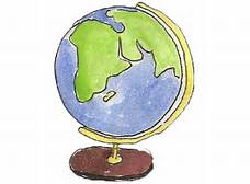
Part 1The day before the lesson, the teacher wants the students to bring blue, green, yellow, brown, dark brown and white sheets to the classroom in order to study knowledge of colors on physical maps.The lecture will be done in the following order:
As a result, students understand that blue on physical maps expresses seas, lakes, oceans. Green means heights from 500 m to 1000 m. Light brown shows the heights from 1500 m to 2000 m. dark brown means the heights above 2000 m. and white represents icecaps. |